How Directional Drilling Works in Amarillo Ground
The rim: tableland and breaks
The metro's geology is a tale of one edge: the high tableland — deep loams over lensing cemented layers, flat production drilling with hard streaks named per reach — and the breaks, where the Canadian's erosion has stripped the cover and opened the red-bed country beneath into badlands, mesas, and canyon approaches. The tableland asks materials questions; the breaks ask terrain questions — access, grade, exposed strata, and logistics — and the two worlds meet along a rim that runs through the metro's own counties. Rim-country quoting names the side first, because everything else about the estimate follows from it.
The clearinghouse economy and its coordination registers
The Panhandle concentrates big systems in one market: beef at continental scale, transcontinental rail and interstate freight, wind generation across every horizon, a medical district serving a tri-state region, and a water authority that moves a lake through an aqueduct to a city's taps. Each brings its register — feedyard and plant protocols, railroad windows on the BNSF main, wind-operator corridors, campus standards, and supply-infrastructure care — and the region's highest-coordination industrial sites add documented federal protocols where their corridors apply. All of it is scope, named at the desk, priced in daylight.
The sequence, Panhandle edition
The bones are standard — locates plus private designating, potholes on every claimed utility, pilot on profile, ream to about one and a half times the product, pull, restore. Panhandle bends: hard-streak tooling staged on the tableland, terrain planning in the breaks, wind-aware staging on a horizon that means it, supply-water fluid care in Meredith's drainage, bundled-trip economics on the long corridors, and restoration that treats city lawns, wheat headlands, and canyon-edge ground as the different surfaces they are.
Who owns what you're crossing
The city and the towns run their own ROW counters; five county departments cover the section miles; TxDOT permits the interstates, the loop, and the spokes. The recreation area's machinery governs Meredith's world with the water authority's corridors beside it; the monument country carries protected-lands care; the state parks hold the canyon edges; state floodplain rules ride the river and the draws; railroads permit the transcon's crossings; and the high-coordination industrial neighbors keep their documented protocols. The quote names every owner on your alignment — here, the first questions are which side of the rim and how far the trip.
Straight answers
Will you hit rock on my bore?
The Panhandle's answer has two halves: tableland bores meet the cemented streaks — lensing hard layers named and tooled per reach rather than discovered; breaks bores read the exposed red-bed strata directly, which is terrain work with the geology in plain sight. The quote names your side and your expectation at depth.
How deep do bores run under Amarillo streets?
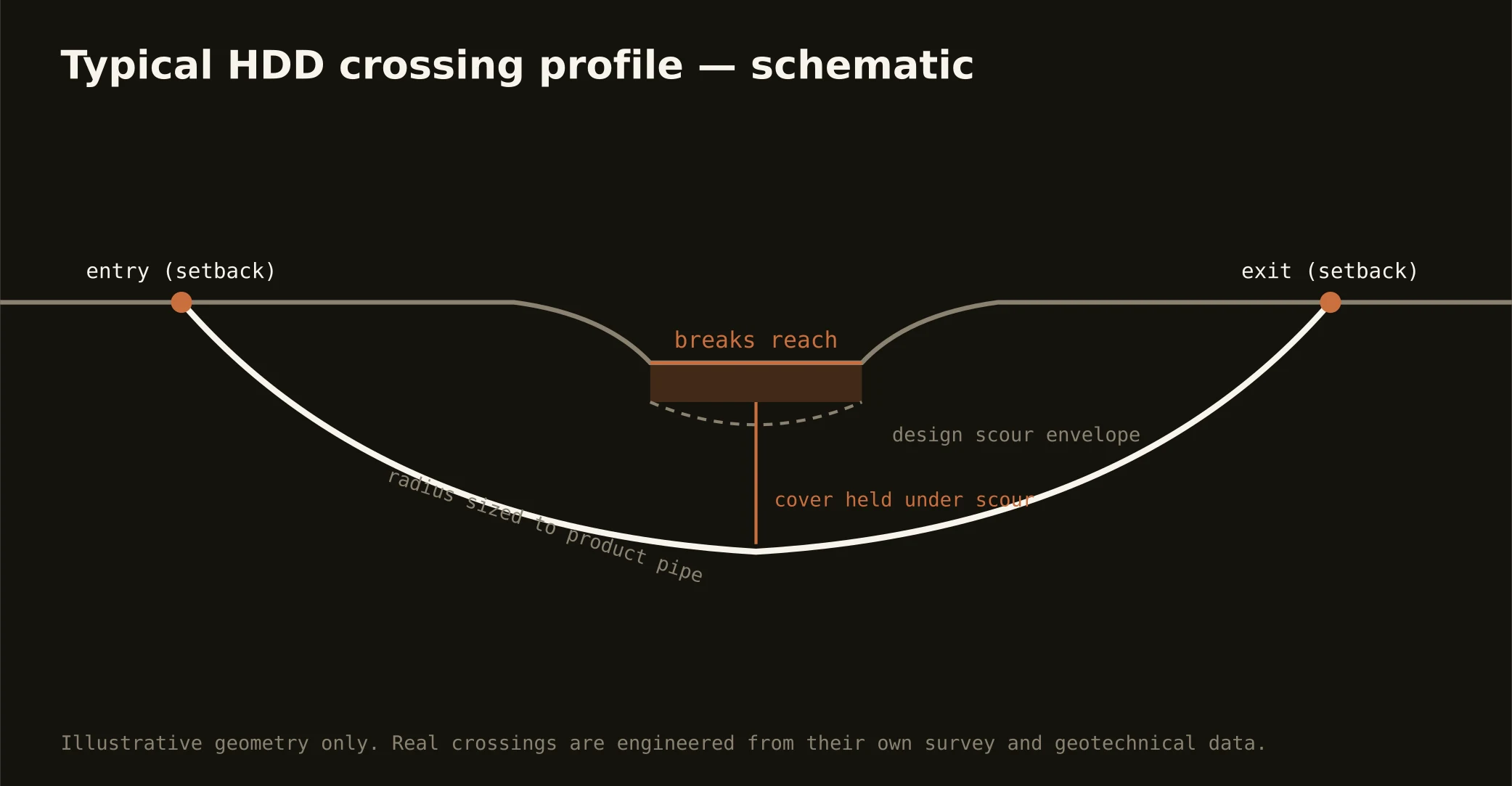
Cover follows the owning authority's standard and sits below everything potholed on the alignment — with breaks and reservoir-country crossings running to their authorities' criteria and terrain. The plan states your number and the ground expected at it.
Does the Panhandle weather affect scheduling?
It disciplines it year-round: wind is a daily planning input, winter arrives with genuine blizzards on the nation's snowiest Texas plains, and summer brings the dryline's storms — so staging, mast decisions, and season windows all run weather-aware. The region schedules around its sky as a matter of habit; so do we.
Ready to put a number on a real crossing? Send the scope — a person prices it.