Canadian River & Breaks Crossings
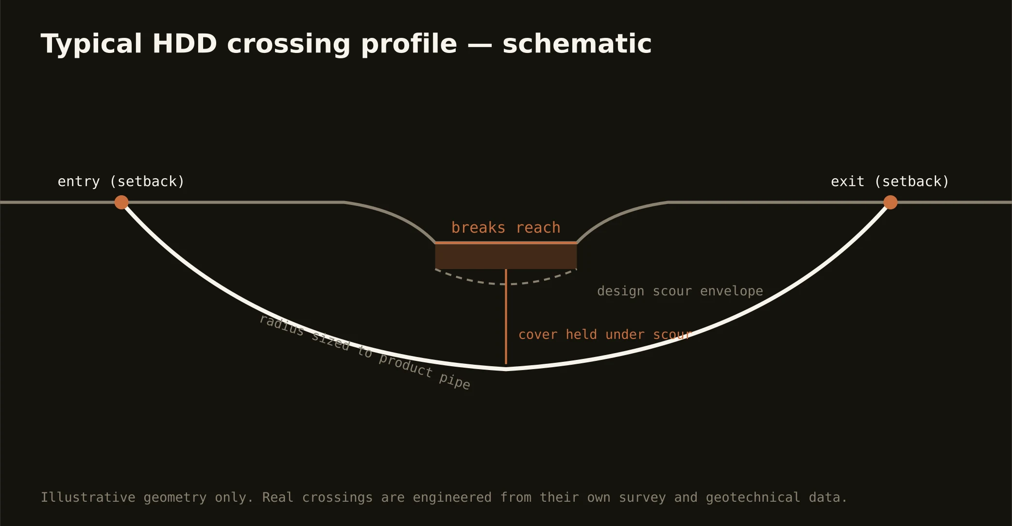
The breaks are the Panhandle's great exception, and crossing them is the signature regional bore: the Canadian's valley tears the tableland open across the metro's north — badland slopes, red-bed mesas, arroyo-cut approaches, and the river itself running sand-bedded through the bottom — with Lake Meredith's reservoir filling the central reach as the region's water supply and a national recreation area both. Breaks crossings are terrain engineering first: entry and exit found on workable ground above the slopes, profiles read from exposed strata rather than guessed under cover, and access planning that treats canyon-country logistics as the real cost driver they are.
The authority stack fits protected working country: the national recreation area's machinery on Meredith's world, the water authority's interests on the aqueduct and intake corridors, the Alibates flint quarries' protected lands — a national monument whose surroundings deserve wide, careful berth — state floodplain and water-quality review on the river and its creeks, and the road or rail owner overhead. South of the city, the canyon country runs the same doctrine at Palo Duro's edges: state-park boundaries, dramatic terrain, and the Prairie Dog Town Fork's reaches below the rim.
Fluid discipline runs supply-water grade throughout — this is the drainage the region drinks from — with containment staged on terrain that wants to carry spills downhill fast, monitored returns, and the response plan written before the pilot turns.